Sierra National Forest
SIERRA NATIONAL FOREST – HIGHLIGHTS
1,300,000 Acres • Stretching from Yosemite to Kings Canyon • Established 1893 • Altitudes ranging from 900 to 13,986 feet
Planning a visit? For detailed information on current restrictions and closures in this national forest, visit the official USFS Sierra National Forest website.
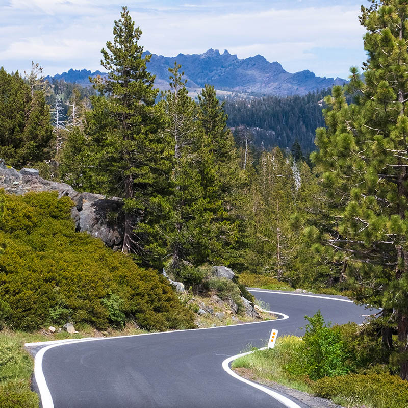
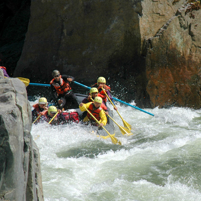
The Sierra National Forest, located on the western slope of the central Sierra Nevada, is known for its spectacular mountain scenery and abundant natural resources. The terrain includes rolling, oak-covered foothills, heavily forested middle elevation slopes and the starkly beautiful alpine landscape of the High Sierra. Abundant fish and wildlife, varied mountain flora and fauna and numerous recreational opportunities make the Sierra National Forest an outdoor lover’s paradise. Placed under Federal protection and management in 1893, when the area was designated the Sierra Forest Reserve, these lands have met public needs for wood, water and outdoor recreation for more than a century. Today, the Forest’s many rugged wilderness areas makes it one of the most popular National Forests in the US.
BE PREPARED
Purchase printed maps of the Sierra National Forest
Free shipping included in purchase price.
-

Ansel Adams Wilderness Map
$14.20 -

Tom Harrison Maps – Sierra National Forest
$13.15 -

Sierra National Forest Atlas
$35.95 -
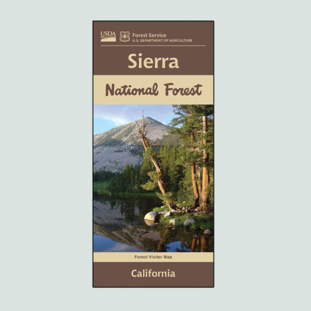
Sierra National Forest Recreation Map
$16.20 -
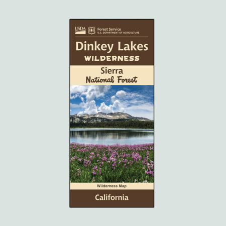
Dinkey Lakes Wilderness Map
$14.20 -
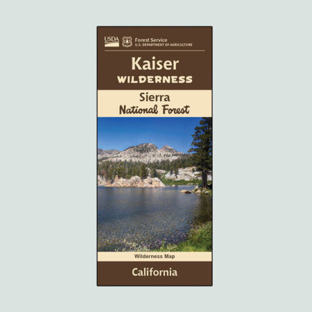
Kaiser Wilderness Map
$14.20 -

Tom Harrison Maps – Mono Divide High Country
$13.15 -

Tom Harrison Maps – Dinkey Lakes Wilderness
$13.15 -

Tom Harrison Maps – Kaiser Wilderness
$12.15 -

National Geographic Map of Mammoth Lakes, and Mono Divide
$14.15 -

National Geographic Map of Shaver Lake
$14.15
Central Sierra
The Sierra National Forest is located south and west of Yosemite National Park, and north of Kings Canyon National Park. Visitors can access the forest via CA-41 and CA-168.


”
For over 20 years 3FIA’s free Forest Visitor Guides have provided key information for visitors to the Stanislaus, Sierra, and Sequoia National Forests, including updated road maps with detailed recreation, campground, and trailhead locations.
Message Us
Questions about 3FIA and our work? Message us below.
Three-Forests Interpretive Association
30330 Watts Valley Road
Tollhouse, CA 93667